
Articles
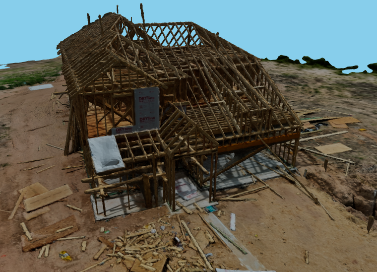
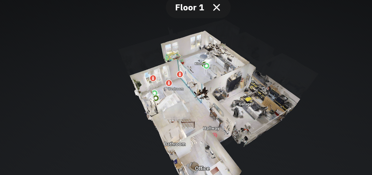
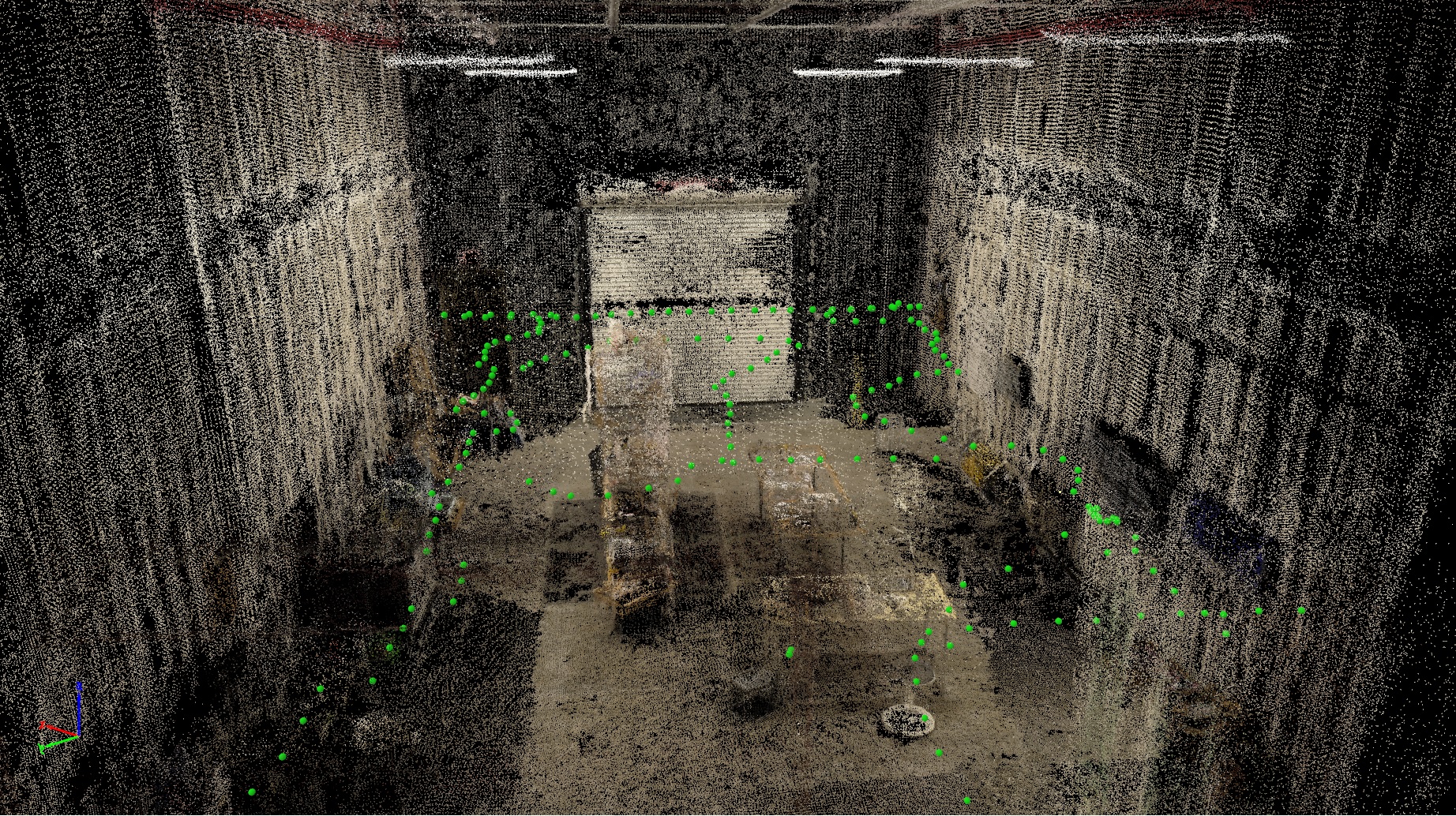
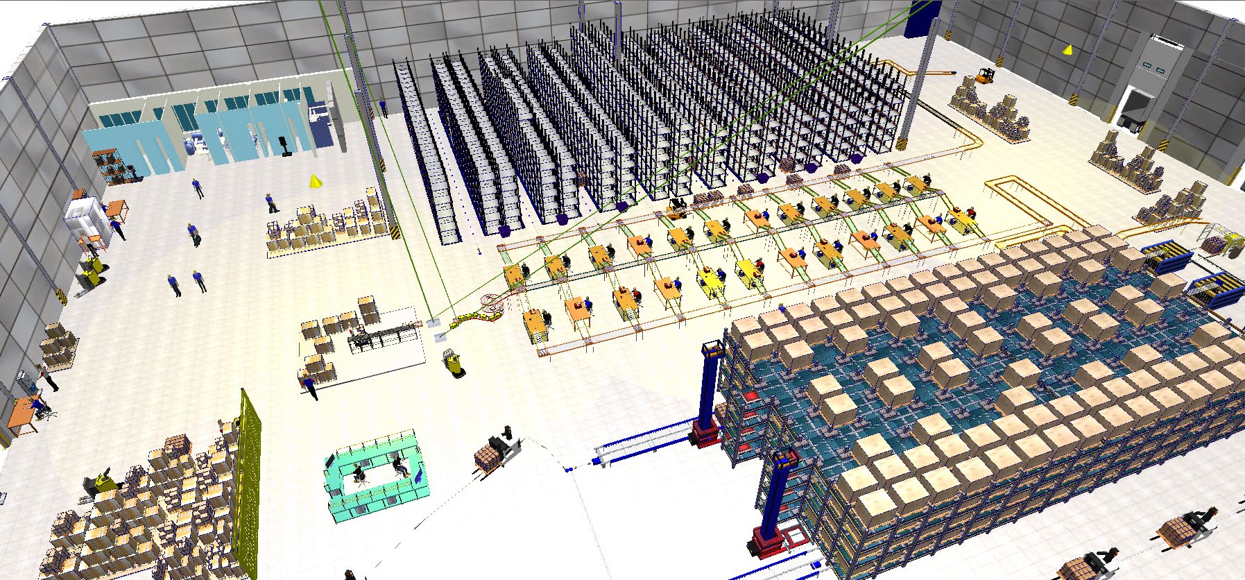
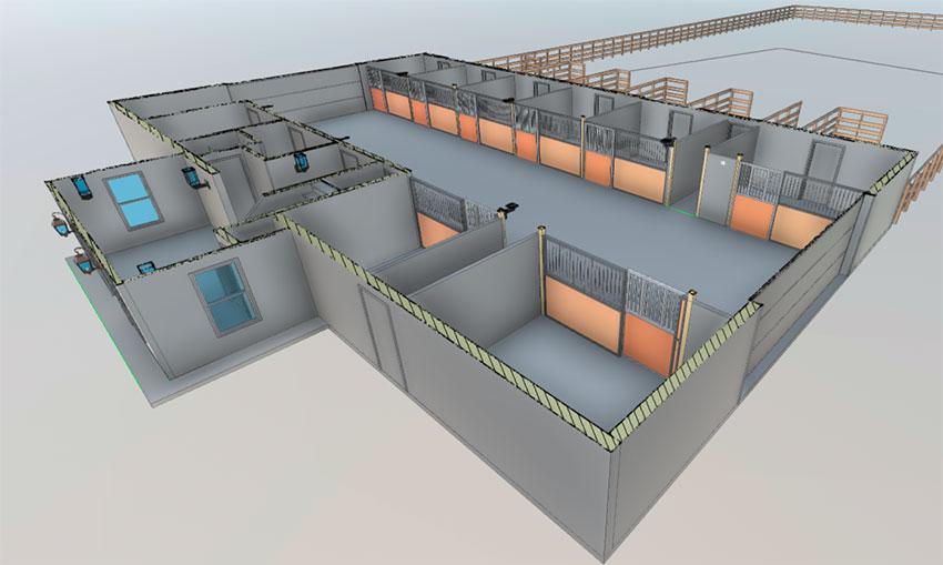
Exploring 3D Models
Dive into how we generate accurate 3D models of your site using photogrammetry.
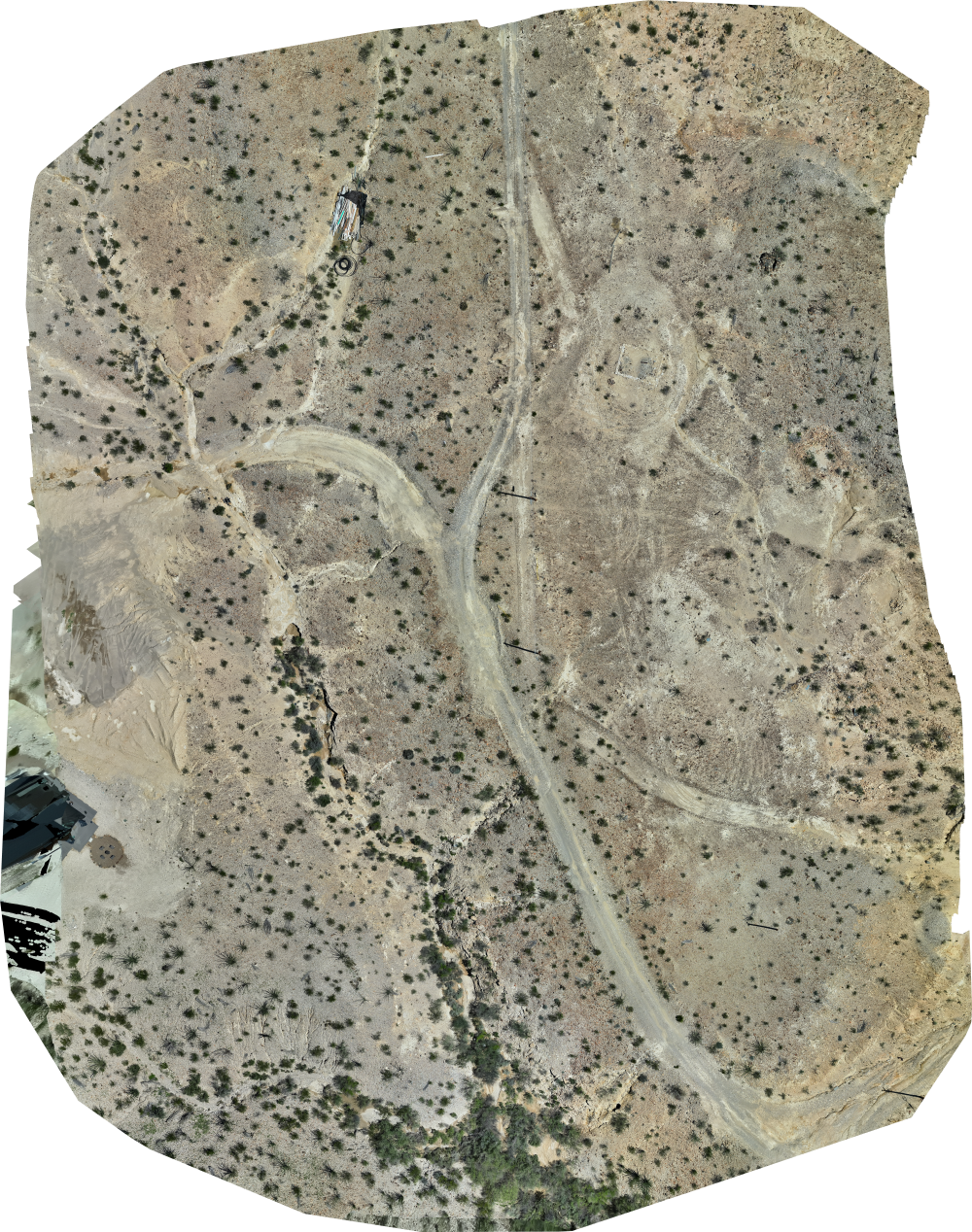
What is an Orthomosaic (2D) Map?
An underrated asset people tend to look past.
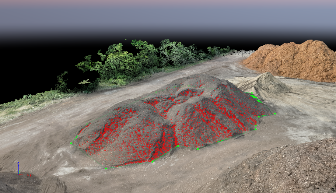
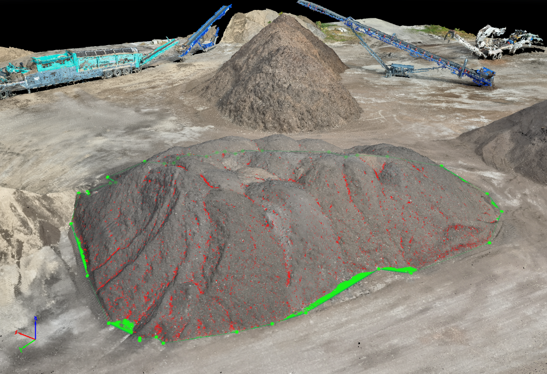
Volumetric Data Explained: Aerial Insights for Smarter Site Decisions
Understanding how drone data can save time and resources
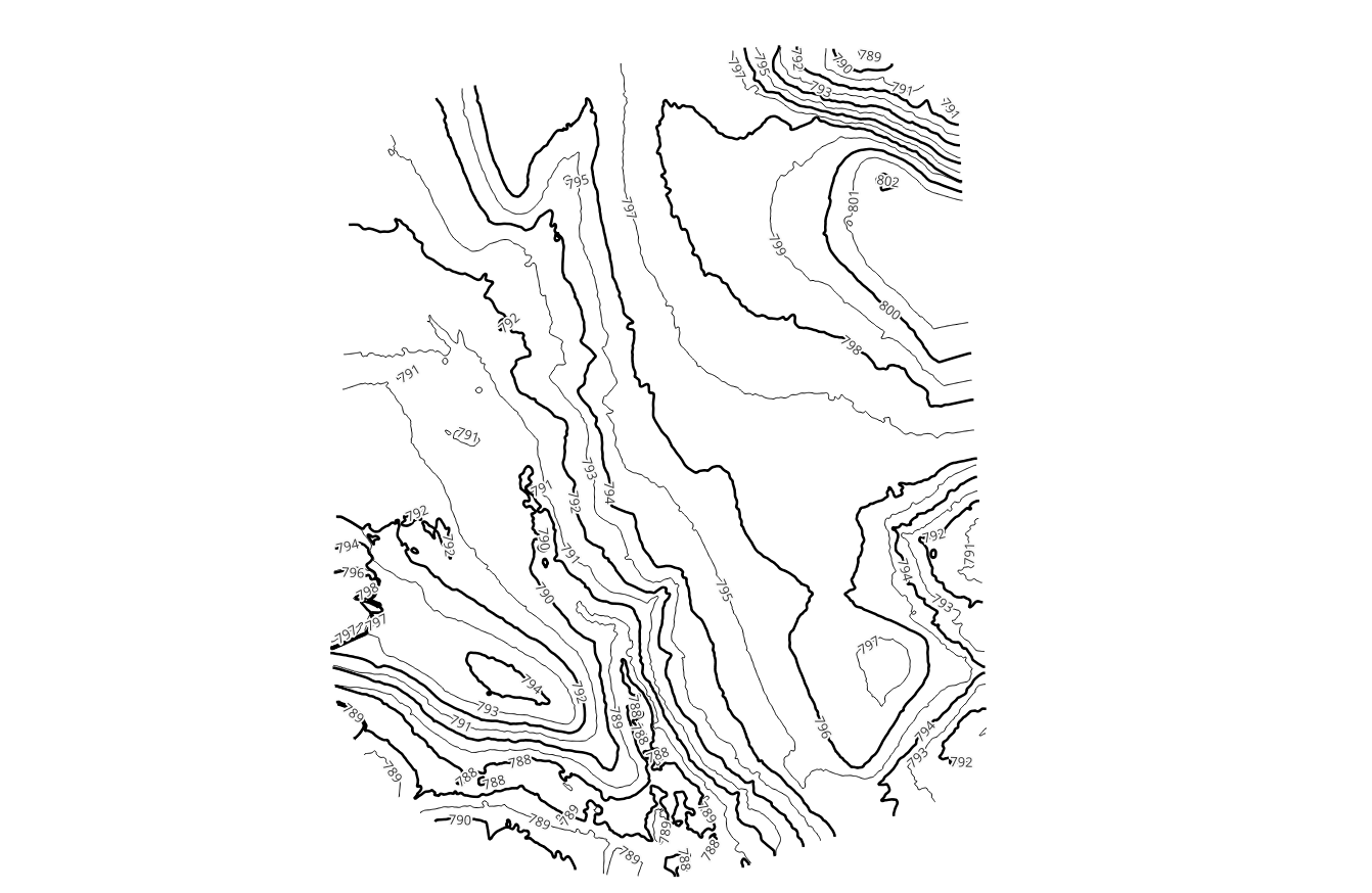
Topographic Maps: Unlocking Knowledge with Topographic Maps
Undertsanding Topographic Maps
Thermal Imaging 101: How to Spot What the Eye Can't See
Thermal Data Saves Time & Resources
Why Monthly Stockpile Reporting Beats the "Once-a-Year" Mindset
Stop waiting 12 months to find out what you've lost
Why Site Conditions Should Be Documented Before they are Altered
Document to support your findings
Why Existing Conditions Documentation is Critical for Environmental & IH Investigations
Preserve site conditions with objective visual records
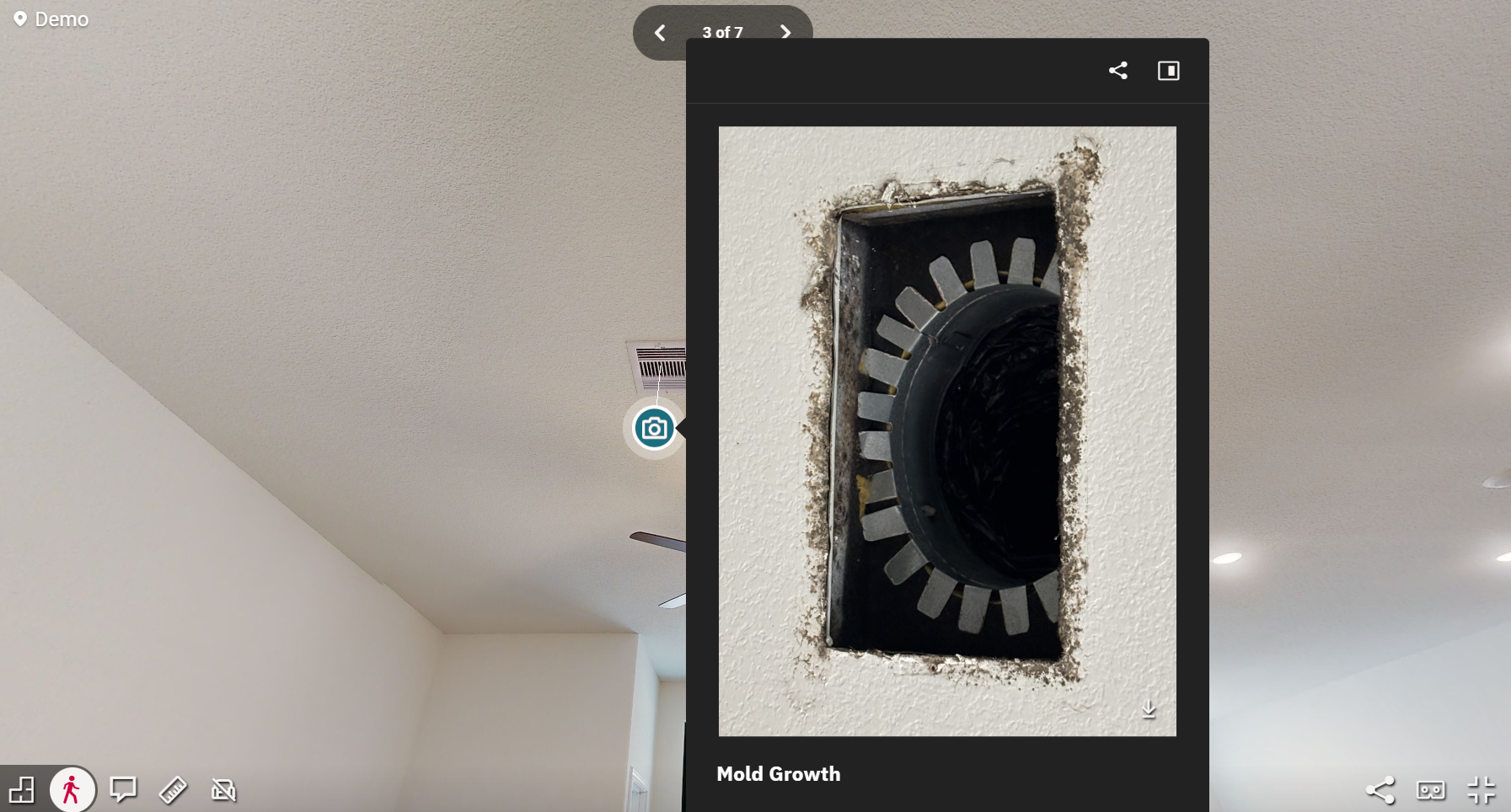
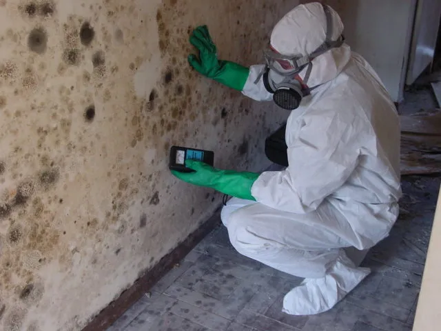
Documenting Site Conditions for Mold Assessments and Supporting Safety Decisions
How visual records can enhance your mold assessment process

10 Places to Visit in San Antonio
Discover the top attractions and hidden gems in San Antonio, Texas.
Documenting Site Conditions for Construction Defect Litigation
How interactive scans can provide crucial evidence in construction disputes

Construction Progress Monitoring Best Practices
Maximizing Efficiency and Accuracy with Drone Technology
What is Forensic Site Documentation?
An Introduction to Forensic Site Documentation and its Importance
You Don’t Think You Need Site Documentation Until The Investigation Starts
Understanding why site documentation is essential even before an investigation begins
Safety Investigations fail more often from missing context than missing data
How comprehensive site documentation can prevent safety investigation failures
Why Photos, Notes, and Memory Are the Weakest Parts of a Safety Investigation
Understanding why traditional evidence becomes fragile when the site changes

The Growing Necessity of Drone Integration
How drones are becoming essential tools across various industries
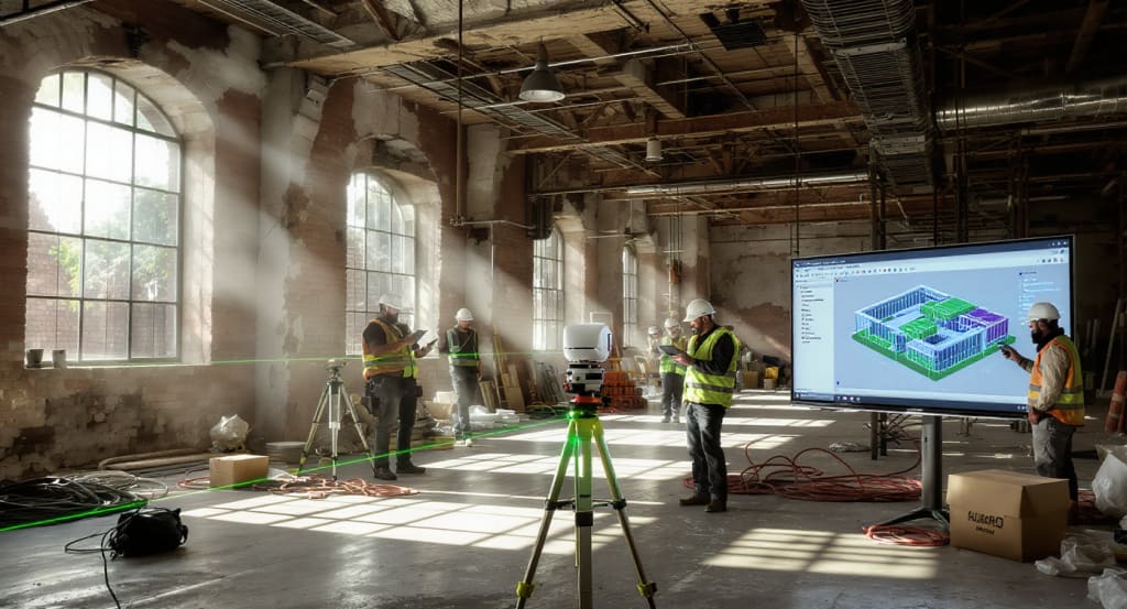
Rebuilding Reality: How SterFlies Creates Defensible Digital Site Environments
Discover how SterFlies transforms physical sites into accurate digital environments for better decision-making.
Thermal Reporting Standards IEC 62446-3: What You Need to Know
Understanding the IEC 62446-3 standard for thermal reporting and its implications for industry professionals.

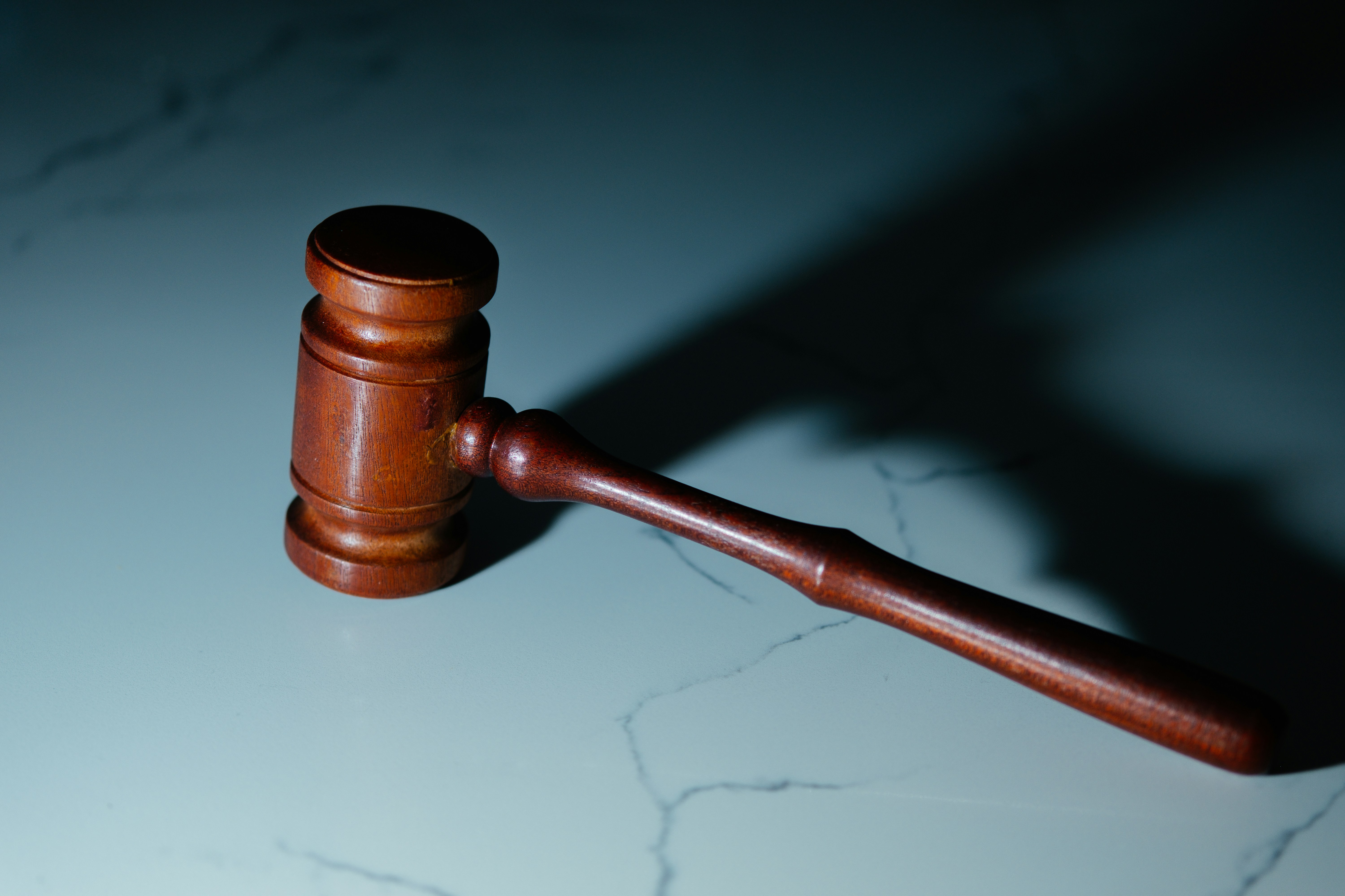
Digital Evidence in Legal Disputes: How 3D Reality Capture Is Changing Case Strategy
Explore how 3D reality capture technology is revolutionizing the use of digital evidence in legal disputes and shaping case strategies.
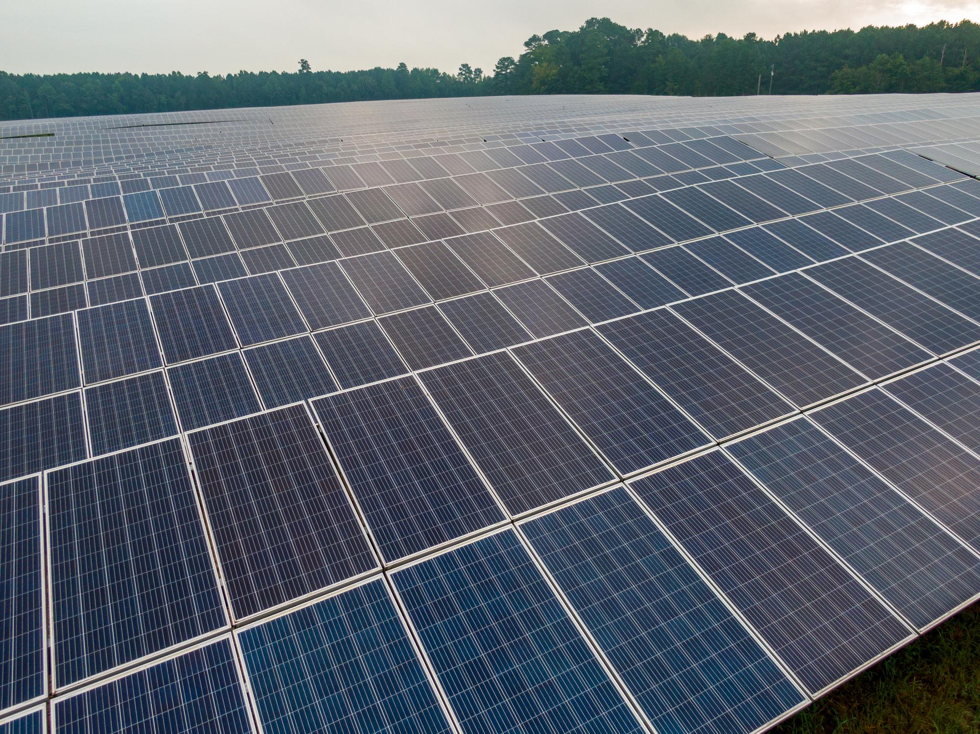
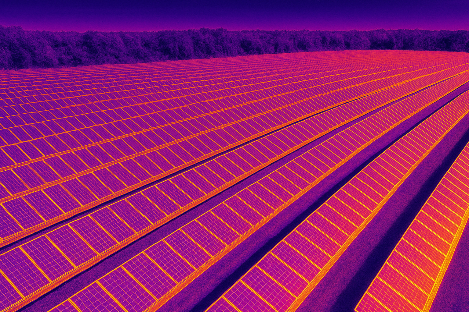
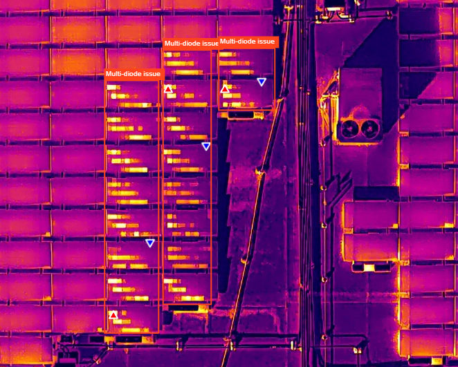
Solar Thermal Anomalies and Drone-Based PV Inspections
Discover how drone-based PV inspections are revolutionizing the detection of solar thermal anomalies, enhancing efficiency and accuracy in solar energy maintenance.
Chain of Custody for Digital Site Documentation: How to Preserve Context That Holds Up in Litigation
Learn how to maintain defensible digital site documentation that stands up in court.

Why Expert Witnesses Need More Than Photos to Analyze a Site
Understanding the limitations of traditional evidence and the importance of comprehensive digital documentation.