Understanding Topographic Maps
By Jerome Sterling — Chief Pilot
In today's fast-paced, data-driven environment, understanding the natural terrain is crucial across numerous industries—from construction and real estate to natural resource management and civil engineering. Topographic maps provide indispensable insights by visually representing elevation changes and landscape features, enabling more informed decisions and better planning outcomes.
What Are Topographic Maps?
At their core, topographic maps illustrate the three-dimensional features of terrain on a two-dimensional surface. Unlike traditional maps that focus primarily on roads and administrative boundaries, topographic maps display elevation through contour lines. These lines connect points of equal elevation, helping professionals visualize landscape features like hills, valleys, slopes, and ridges with remarkable clarity.
A Brief History of Topographic Mapping
Historically, generating accurate topographic maps required labor-intensive methods such as ground-based surveying with theodolites and leveling rods. While highly accurate, these processes proved costly and time-consuming, particularly for expansive or rugged terrains. The advent of aerial photogrammetry—capturing overlapping photos from aircraft and converting them into digital elevation models (DEMs) and digital surface models (DSMs)—streamlined map creation, but still carried the high expense of manned flights.
The Drone Revolution
Today, drones have revolutionized topographic mapping by providing accessible, efficient, and cost-effective aerial data acquisition. Drone-based mapping involves meticulous flight planning—choosing optimal altitude and ensuring sufficient photo overlap—to guarantee comprehensive coverage and high-resolution imagery. Once captured, specialized photogrammetry software processes these images into precise DEMs and DSMs, from which accurate contour maps are generated in a fraction of the time and cost of traditional methods.
Industry Applications
Industries across various sectors leverage drone-generated topographic maps extensively. In construction and earthwork projects, detailed elevation data assists in optimal site planning, identifying building locations, calculating earth-moving volumes, and ensuring effective drainage. Civil engineers depend on accurate topography for road alignments, pipeline routes, and flood-control systems, minimizing environmental impact and enhancing safety. Natural resource managers analyze watershed dynamics and erosion patterns, while real estate developers evaluate land suitability, highlight prime parcels, and provide compelling visuals to investors and buyers.
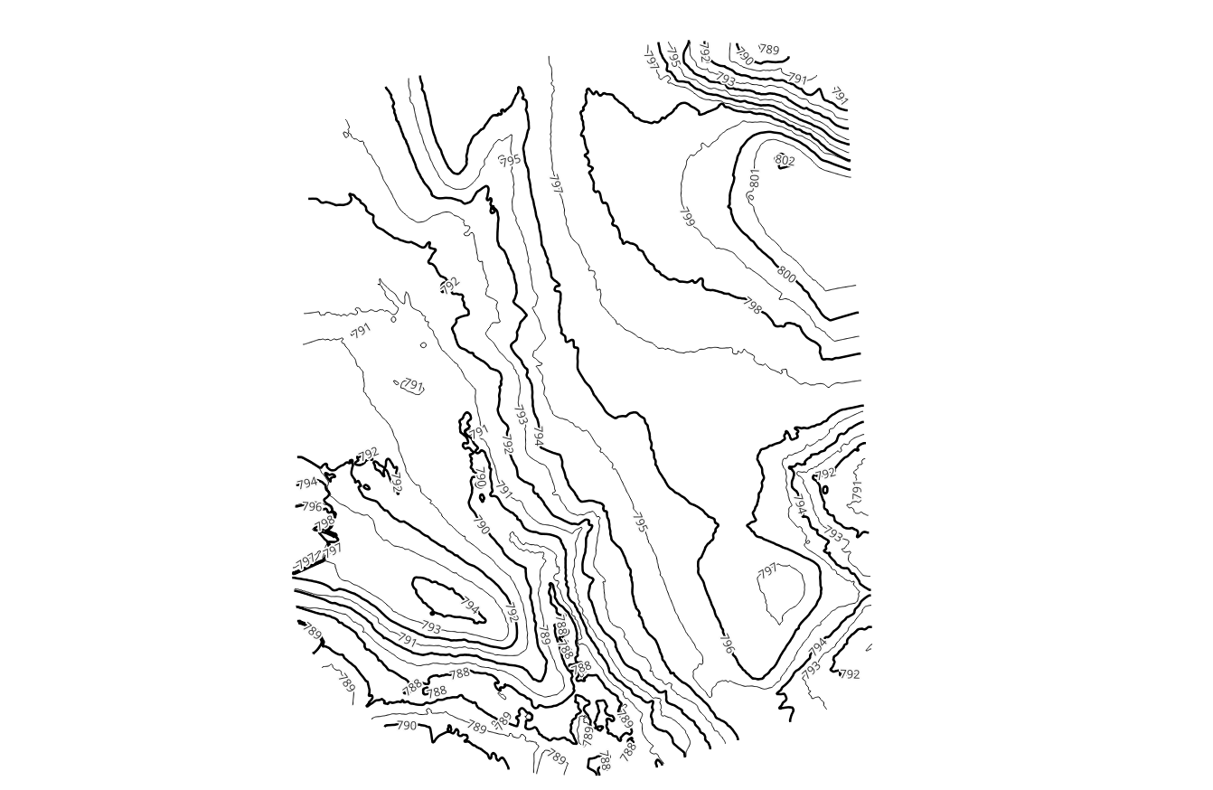
How to Read Contour Lines
Interpreting contour lines is key to extracting insights from topographic maps. Close spacing indicates steep terrain; wider spacing signifies gentle slopes or flat areas. “V-shaped” contours pointing uphill mark valleys and drainage paths, while concentric circles reveal hills (or depressions if dashed). Understanding these patterns allows users to quickly assess gradient, identify ridgelines, and plan routes or construction layouts with confidence.
Best Practices for Topographic Mapping
To maximize map utility, choose a contour interval suited to your project’s scale and terrain variability—finer intervals for gentle landscapes, broader for mountainous regions. Incorporate ground control points during drone surveys to enhance absolute accuracy, and integrate topography with GIS layers (soil, hydrology, land use) for richer analysis. Regular updates are vital in dynamic environments such as active construction sites or areas prone to erosion.
How SterFlies Delivers Accurate Mapping
At SterFlies, we harness cutting-edge drones—like the Matrice 4 series—and advanced photogrammetry software to produce highly precise topographic maps. Our end-to-end workflow includes flight planning, data capture, DEM/DSM processing, and contour generation, all validated against ground control benchmarks. The result is a turnkey solution delivering detailed site assessments with guaranteed accuracy, speed, and cost-effectiveness.
Topographic maps are foundational tools for any industry interacting with the physical environment. Mastering their creation and interpretation enhances project accuracy, safety, and efficiency. If you’re interested in exploring how drone-based topographic mapping can elevate your projects,