Projects

Selected Field Documentation

Examples of aerial, terrestrial, thermal, and photogrammetric documentation used to preserve site conditions, create spatial records, and support technical review. The set is small and real. It is organized so later projects can join the same practice categories.

Existing Conditions / Reality Capture

Interior and exterior records used to preserve conditions for later professional review.

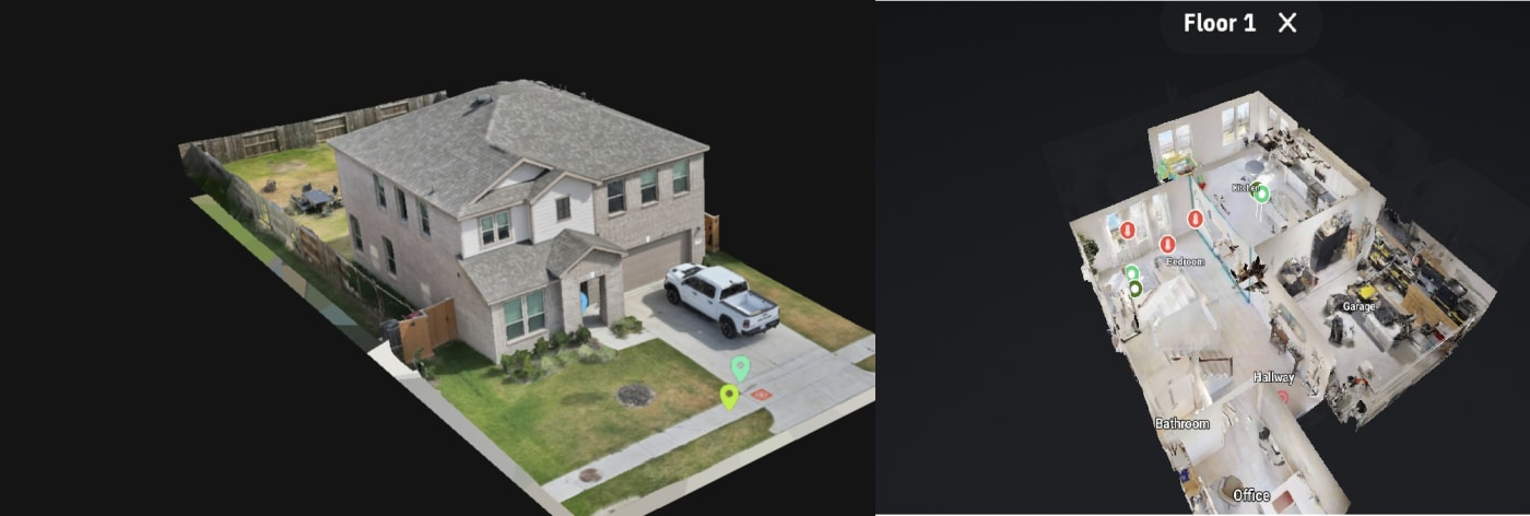
Combined interior and exterior 3D documentation of existing site conditions

IAQ & Mold Existing Conditions Documentation

Professional context
Demonstration project illustrating an interior and exterior documentation workflow for later professional review.
Documentation objective
Preserve interior layout, room relationships, exterior context, and location context as a reviewable spatial record.
Capture methods
Matterport / terrestrial capture, exterior photogrammetry, and high-resolution imagery.
Deliverables
Interior walkthrough, exterior 3D model, annotated views, and supporting imagery.
Forensic Mapping & Site Documentation

Mapping & Photogrammetry

Repeatable aerial mapping used as a shared spatial record of a large site.

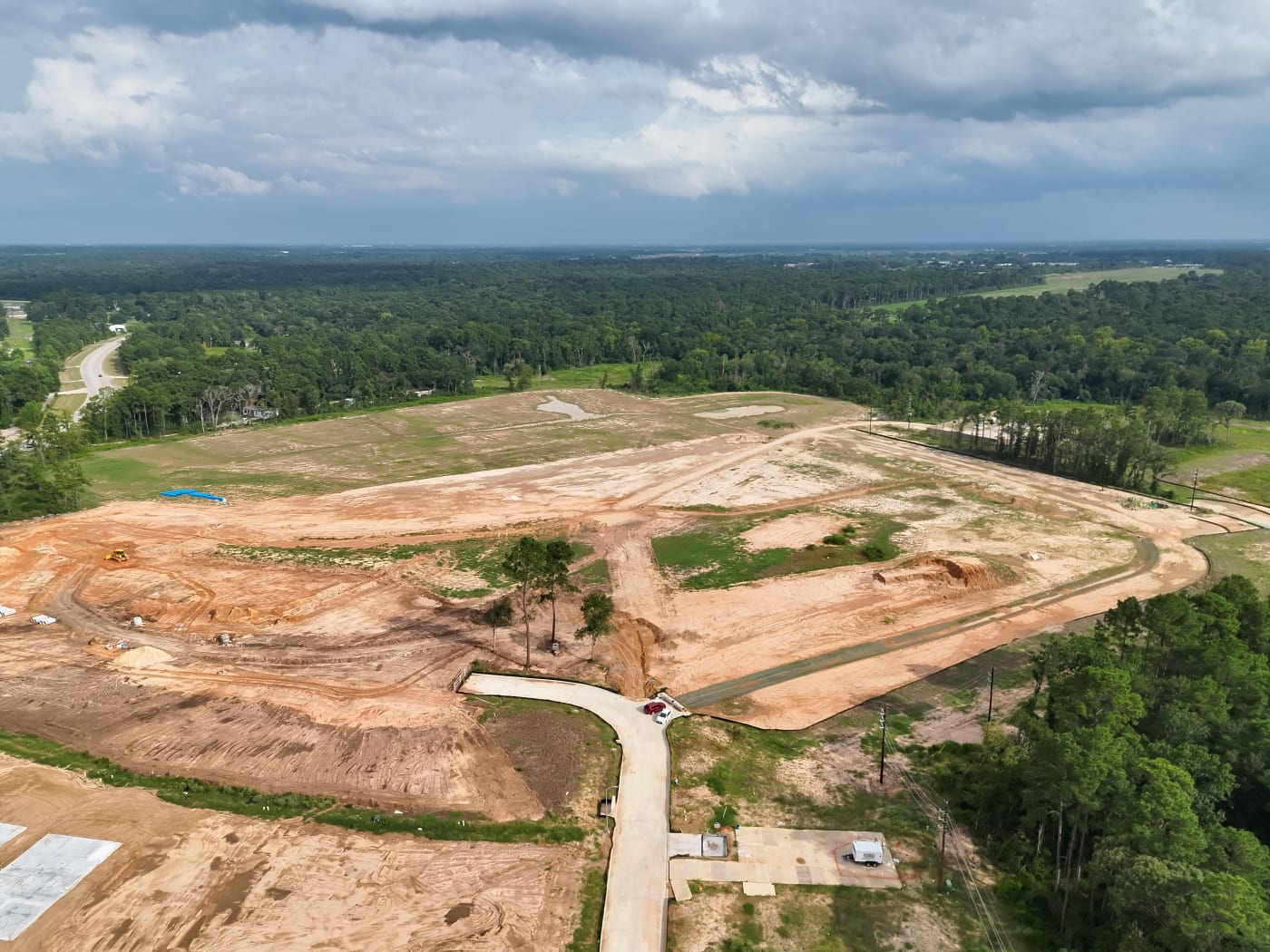
Aerial mapping of a 65-acre development site

65-Acre Site Mapping & Progress Documentation

Professional context
Recurring aerial photogrammetry used to create a shared spatial record of grading, utilities, pads, and access.
Documentation objective
Create a repeatable spatial record of site conditions and construction progress.
Capture methods
Aerial photogrammetry with a consistent capture footprint across visits.
Deliverables
Orthomosaic, shareable web map, and site imagery.
Mapping & Photogrammetry

3D Progress Documentation

Milestone models of visible construction geometry for remote review.

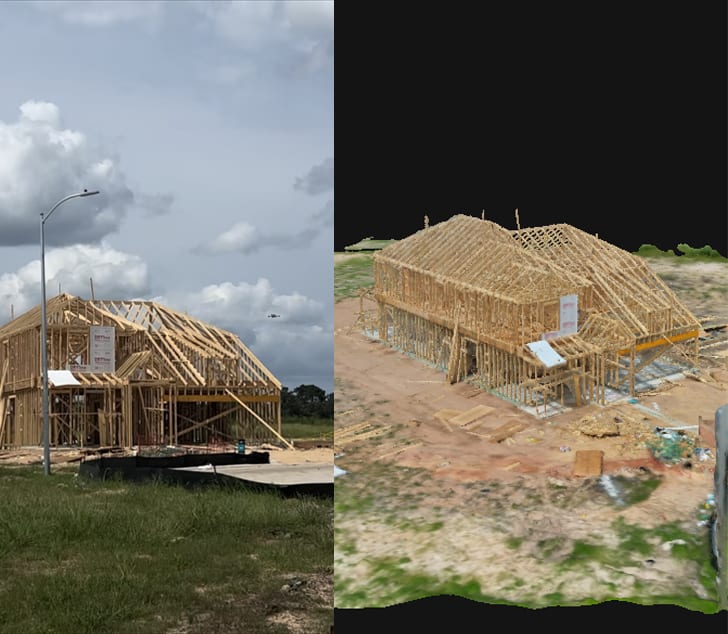
Photogrammetric 3D model of a custom home during construction

Custom Home 3D Progress Documentation

Professional context
Recurring 3D documentation of a custom home so changing construction conditions could be reviewed remotely.
Documentation objective
Preserve a repeatable 3D record of construction progress for remote review.
Capture methods
Aerial photogrammetry processed into a navigable 3D model.
Deliverables
Browser-based 3D model and supporting progress imagery.
Mapping & Photogrammetry

Thermal Documentation

Paired thermal and RGB records for later qualified review.

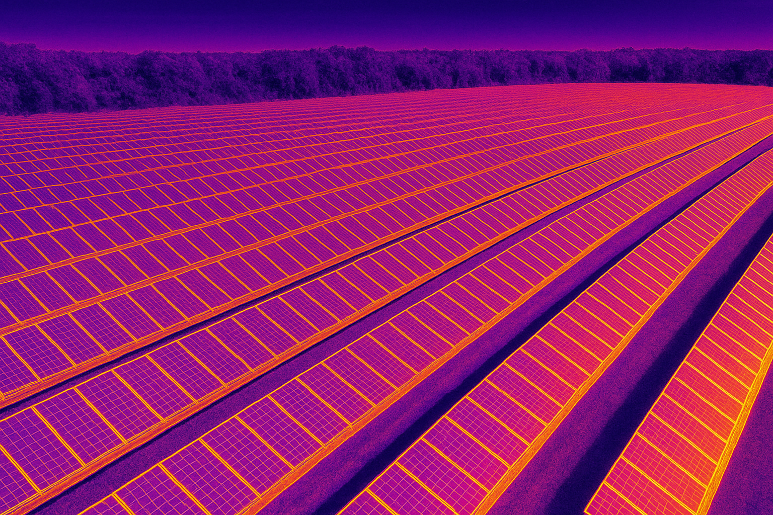
Thermal documentation of a photovoltaic array

Solar PV Thermal Documentation

Professional context
Paired thermal and RGB documentation of a photovoltaic array, with location context for later review.
Documentation objective
Document apparent temperature patterns across the array and preserve corresponding RGB and location context.
Capture methods
Thermal and RGB aerial capture planned for module-level coverage.
Deliverables
Thermal imagery, RGB imagery, annotated snapshots, mapped context, and a review report.
Thermal Documentation

Need a site documented?

Tell us what needs to be captured, measured, or preserved and we can determine the appropriate documentation approach.