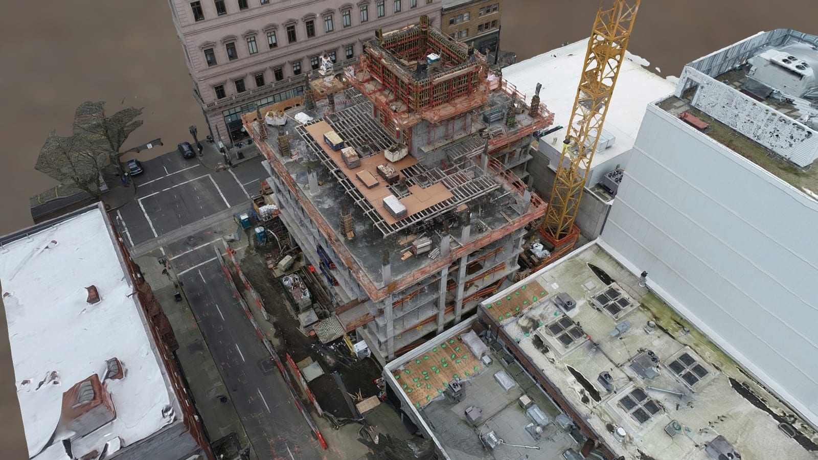
A workplace incident can leave investigators with a practical problem: they need to look closely at something they cannot safely approach yet. It might be a damaged platform, a roof edge, or equipment above an active work area. Emergency response and hazard control come first. Once the site is ready for documentation, an aerial view may help the team decide what needs closer attention.
That does not mean putting a drone in the air at every incident. The more useful goal is to make aerial documentation an option that safety professionals can request for a specific reason. A clear question should come before a flight plan.
First, decide what the investigator needs to see
“Get some drone footage” leaves too much to chance. A better request is: “Can we see the landing and guardrail on the upper platform without sending someone onto it?” That tells the pilot what matters and gives the investigator a way to judge whether the photographs are useful.
Consider an incident near elevated process equipment. The investigator may need to see where a ladder meets a platform, whether access is obstructed, and what can be observed of the surrounding structure. Still photographs from two or three deliberate angles might be enough. A full mapping flight could add time and files without answering anything new.
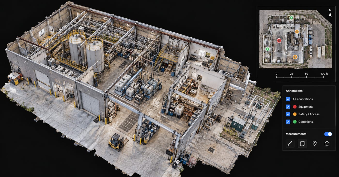
If the question involves a dimension—such as a clearance or distance between two features—the team should choose a measurement method and required accuracy before capture. A photograph can show a relationship; it cannot, by itself, establish a verified measurement. This article focuses on the decision to use a drone, rather than the photogrammetric products discussed in SterFlies’ existing forensic mapping article.
A closer look without an unnecessary approach
One of the clearest reasons to consider a drone is restricted access. An initial exterior view may help investigators examine visible damage on an elevated structure, check a difficult roofline, or survey an area where walking access has been limited. The aircraft can keep a person out of a particular location while still providing useful observations.

But the aircraft introduces its own risks. Power lines, cranes, moving equipment, emergency aircraft, and people on the ground all affect whether a flight is appropriate. At a facility where flammable gas or vapors may be present, an ordinary drone should not be treated as safe to operate near the release. The operator and site team need to assess those hazards first. No photograph is worth complicating the incident response.
What the aerial view changes on a large site
On a spread-out construction site, investigators may spend considerable time moving between accessible observation points. An aerial look can help identify which exterior locations deserve a closer inspection and whether equipment, barriers, or ongoing operations affect access. That information is most helpful early, while the team is deciding where to focus its fieldwork.
The advantage is not guaranteed speed or lower cost. Wind, airspace restrictions, nearby operations, site permissions, and obstructions can make a flight impractical. Sometimes a ground camera gets the needed view. Sometimes a qualified lift crew is the right choice. A useful drone program makes room for those answers.
OSHA’s drone guidance is a precedent, not a requirement
OSHA issued Directive CPL 02-01-169 in December 2021 to address its own use of small unmanned aircraft systems in inspections and related activities. The directive is useful here because it treats flight as a planned inspection activity with operational requirements, rather than an informal request for aerial pictures. [1]
It does not require private consultants to use drones or give them special permission to fly. A consulting team still needs authorization to access the site, a qualified operator, and a mission that complies with applicable aviation rules. For typical commercial small-drone operations in the United States, that generally means FAA Part 107, together with any required airspace authorization and Remote ID compliance. [2][3]
Four questions to settle before anyone launches
- What specific feature or condition needs to be seen, and why is an aerial view the right method?
- Can the flight be conducted safely around workers, equipment, airspace users, weather, and site-specific hazards?
- Who authorizes site access, and who has the final aviation go/no-go decision?
- How will original files, capture times, locations, and camera viewpoints be preserved and delivered?
If the team cannot answer one of these questions, it should resolve the issue, change the plan, or use a different method. A flight should not become the default simply because an aircraft is available.
Keep the investigator and pilot in their respective roles
The investigator identifies the observations that matter and decides whether more evidence is needed. The remote pilot is responsible for the operation of the aircraft. Those responsibilities should meet in a short field briefing: what to capture, what areas to avoid, where personnel will be working, who can stop the flight, and what files will be handed over.
Original photographs and video should remain identifiable and traceable to the mission. A delivery folder with consistent filenames, a capture log where appropriate, and a clear description of each viewpoint is more useful than an unlabeled collection of clips. The team should establish file retention and access arrangements before flying, particularly when litigation or confidential facility information is involved.
Know what the camera cannot tell you
An overhead image only shows what the sensor can see. It will not reveal a failed component inside a closed machine, conditions beneath an opaque roof, or details hidden behind a wall. Poor lighting, reflective surfaces, distance, and motion can also limit what reviewers can make out. Thermal imagery has its own constraints; it does not identify an unknown chemical or determine a person’s exposure dose.
Nor does video establish why an incident happened. It is one observation among others, which may include physical examination, witness interviews, technical records, testing, and verified measurements. Drone documentation is most useful when its limits are understood before it is collected.
Start with access to the capability, not a shopping list
A safety consulting firm does not have to purchase an aircraft to make aerial documentation available. A practical first step is to establish when an investigator can request a qualified operator, who approves the work, and what a usable deliverable looks like.
A small trial on a suitable exterior project can test that process. Give the operator one or two defined questions, document the restrictions, and review whether the finished images answered them. If aerial requests become frequent, an internal program may be worth considering. That decision brings training, maintenance, operating policies, and oversight—not just the cost of the aircraft.
The standard should be simple: launch when the aerial perspective is likely to help answer a meaningful question and the flight can be managed safely. Otherwise, keep the aircraft on the ground.
Related: SterFlies. How Drone Mapping Can Support Forensic Site Investigations.